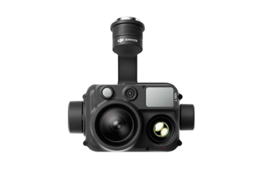
The DJI Zenmuse L1 integrates a LiDAR module with a high-precision IMU and a camera with a 1-inch sensor, providing accurate 3D data capture for detailed terrain and structural mapping.
Equipment Type: Drone Payload
Benefits
Lidar payload for capturing high-accuracy 3D data from the air
Used for topographic mapping, surveying, and infrastructure inspections
Provides real-time data for creating detailed 3D models and point clouds
Surveying
Mapping
Construction
Forestry management
Volume measurements
Stockpiles
Environmental conditions
Infrastructure
Environmental
Mining
Surveying
Construction
Archaeology
Oil & gas
Public safety
Power & utilities
For Rent
Request a Quote
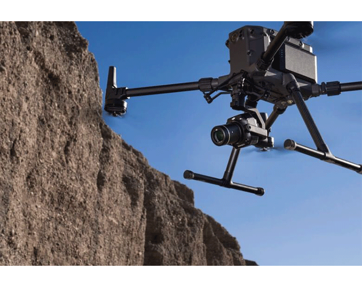
DJI Zenmuse L1: A LiDAR + RGB Solution for Aerial Surveying
The DJI Zenmuse L1 integrates a Livox LiDAR module, a high-accuracy IMU, and a camera with a 1-inch CMOS on a 3-axis stabilized gimbal.
When used with the DJI Matrice 300 RTK and DJI Terra, the L1 forms a complete solution that gives you real-time data for 3D models throughout the day, efficiently capturing the details of complex structures and delivering highly accurate reconstructed models.
Exceptional Efficiency
Generate true-color point cloud models in real-time, or acquire 2 km2 of point cloud data in a single flight [1] using the Livox frame LiDAR module with a 70° FOV and a visible light camera with a 1-inch sensor.
Unparalleled Accuracy
Render centimeter-accurate reconstructions thanks to the high-accuracy IMU, a vision sensor for positioning accuracy, and the incorporation of GNSS data.
Ready When You Are
The IP44 rating allows the L1 to be operated in rainy or foggy environments. The LiDAR module’s active scanning method enables you to fly at night.